

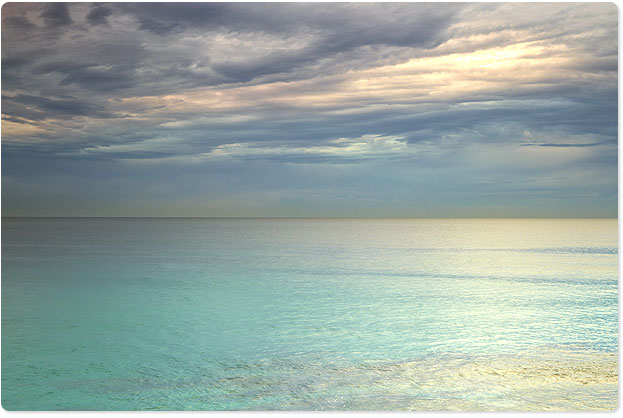
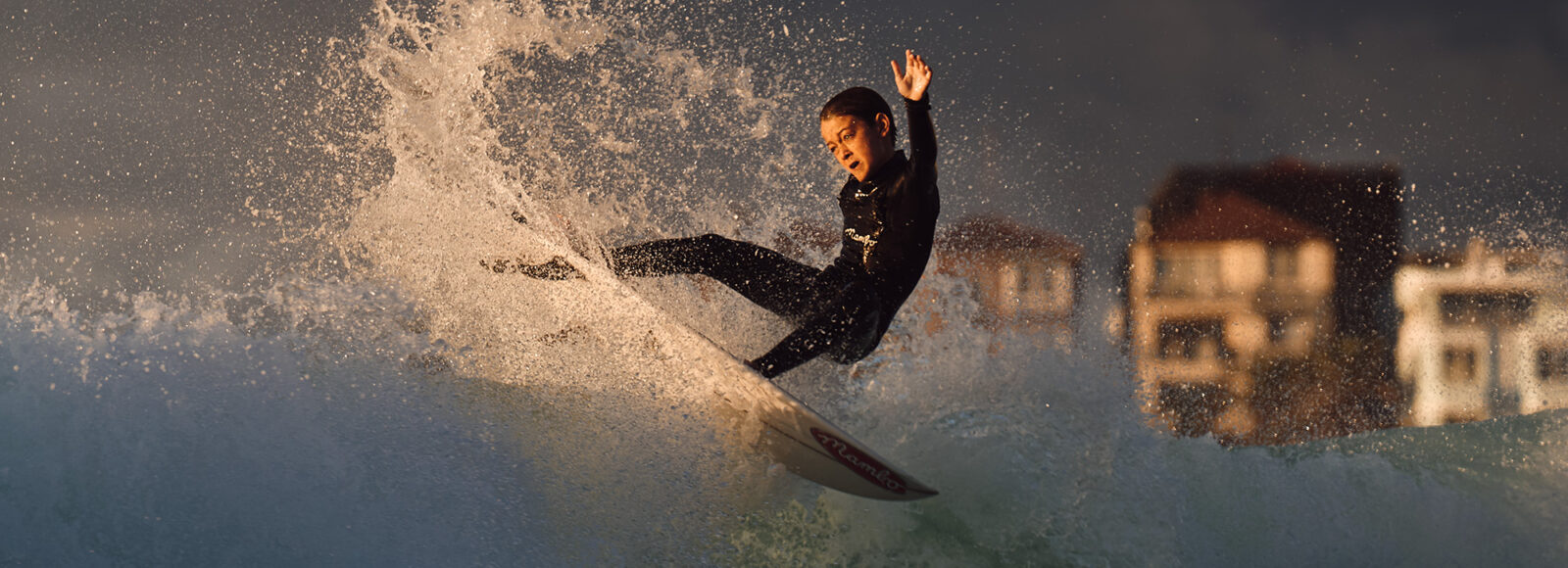
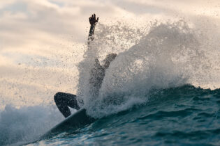
Take a look at the beach now, as the next 24 hours it is going to erupt.
Today’s timid west winds will swing south overnight and blow, hard.
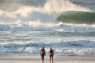
Those flimsy knee to chest high sets of today will transform into triple head high tomorrow…yes…triple.
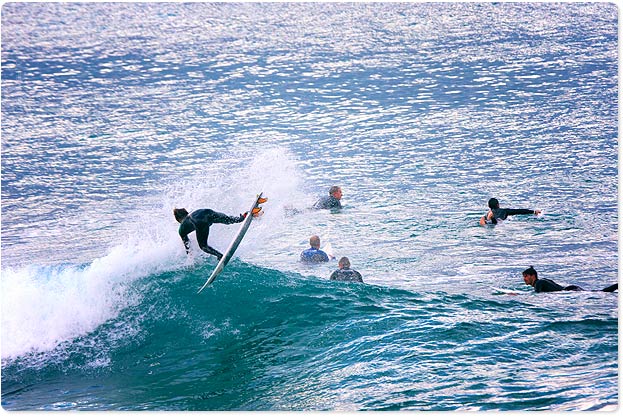
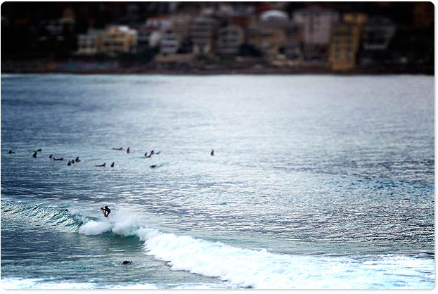
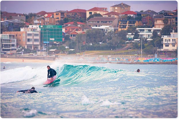
Saturday will host the biggest waves of this storm swell. Some charts say 5 times head high, but I find that hard to believe. Let’s just say it’s going too big for around here. And I hope those little City to Surf tents currently set up on Bondi don’t get washed out to sea. It’s happened before remember?
I can confidently say the wind will blow anything that you want to surf to pieces. So super protected corners are the go.
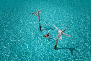
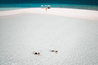
We’ve joined forces with Speedo again this year to create the Aquabumps Range of ladies swimmers and men’s boardies with my images. They’re in store now. Where? Use this store locator. Last year they sold fast – so now is a good time to get them.
Seeya :: uge


Hey Uge,
was just wondering which charts are saying it will be 3-5x overhead. CW and Swellnet both show numbers around 8ft?
btw. Great work – I really like your fotos.
and 8ft translates to how high overhead, give or take?
8ft – double head high
Check out surfline, http://www.surfline.com/surf-forecasts/new-south-wales/sydney_2989
Gotta say, they’re very accurate… but usually I look at several charts.
Cheers and thanks for tuning in Joki
Magic seaweed has the swell peaking at 21.5ft, which is about 10-12ft wave height from the back with 20ft faces.
Uge,
my question was rhetorical for Joki, wasn’t throwing haymakers at your wave calling.
having said that, i’d agree and maybe add another ‘head-high’ to make some of those ‘larger’ 8ft waves come in at 3x overhead, as opposed from the ‘smaller’ 8ft waves being a mere 2x overheard (you’ll learn nothing from me, Joki).
Bob,
loves me some MS to pump up my optimism for forecast waves during those prolonged flat spells. they always add a couple of feet even when it is dead flat.
uge
thancs for the bumps.
cya
uge
thancs for the bumps
cya